Tag: <span>trail</span>

Cds 2017 11 05 17 27 45

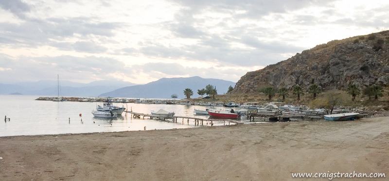
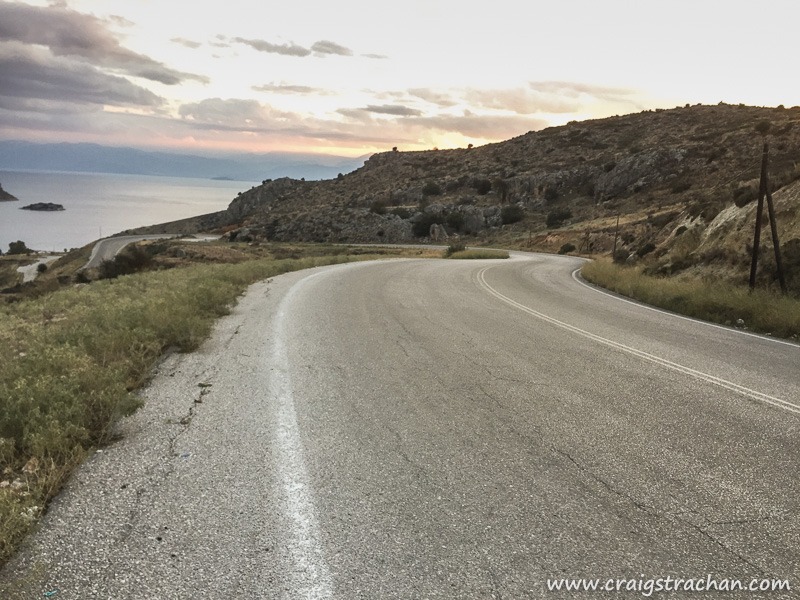
In my last post I showed you the lovely walkway in Nafplio. If you turn right at the end of the walkway (instead of heading left back into town), you find yourself on a lovely trail which is perfect for an evening run.

Cds 2017 11 05 17 23 40

Be careful though, it is much tougher (and longer) than the walkway; even though it follows the cliff there are lots of steep uphills and downhills, but if I lived in Nafplio it could easily become one of my regular route. And if you’re brave you can run up some very steep switchbacks from the beach to the top of the hill – all the way to the fortress.

Cds 2017 11 05 17 13 21

Travel

Read part 1, and part 2

Cds 2016 09 06 11 35 33

I left you on the Tatra mountains, roughly halfway between Zakopane and the Slovakia border. I was soaking wet, and running on some very water-logged trails, and having loads of fun. The flat, wide and dry touristy trails turned into waterlogged impromptu rivers, and these finally turned into firm earthy single-track trails.

Cds 2016 09 06 12 11 21

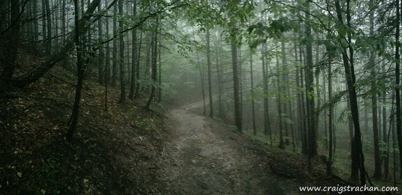
While I ran through the forest, I could smell a wonderful wet and earthy decay. That wonderful smell of nature composting dead branches and leaves back into earth from which new trees will grow. It was misty weather, so everything had a slightly mystical nature. I felt like I was running in one of the many fantasy novels that I have read.

Cds 2016 09 06 12 02 28

The view from the top was spectacular. I had finally run above the forest, so I could look down at the trees. I couldn’t see much besides the tops of the trees just in front of me, but it felt liberating to stand there, having run all the way to the top.

When I say “to the top”, I was only about 1/2 way to Slovakia; I had already climbed over 500m in about 7km, and that was the easy part of the trail. I very much doubt you would be able to run the second half to Slovakia. It would be a very tough hike.

Here is the route I took if you want to see it. https://www.strava.com/activities/702351830

Some quick notes on safety.

  1. I had the Tatra mountain rescue number in my phone. For reference it is +48 601 100 300
  2. I pre-loaded my route into my GPS watch, and my wife had a copy of my route
  3. I took water & some food with me
  4. I took a space blanket, first aid kit, compass, mountain maps, windbreaker & gloves with me
  5. I make sure Lois know my expected arrival time, and gave her a suggested window before she worry
  6. My phone was fully charged

Running Travel

In my previous post I was telling you how good the trails in Zakopane were to start with. Well as soon as I got off the flat touristy trails it got wet…very wet…By now I was very much alone, and very much wet!

Cds 2016 09 06 11 19 03
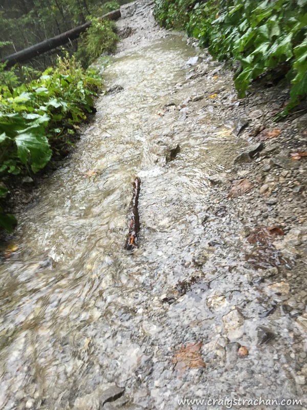
There was so much water running off the mountain that the trails turned into rivers. This is part of the trail that I ran up. Yes, this is a trail – not a river.

Cds 2016 09 06 11 24 40
Two rivers joining an even bigger river.

Cds 2016 09 06 11 29 00
And more of the trail. At first I tried to stick to the edges and keep my feet dry, but soon I revised that it was hopeless, so I embraced the water and ran straight through the water. My feet got soaking wet. But I was having so much fun. I hadn’t felt so alive in ages!

To be continued…

Running Travel

One of the things I wanted to do in Zakopane was to go running in the mountains, so I make sure to pack my basic trail running kit (hydration pack, first aid kit, space blanket, compass etc). It was pouring with rain for the entire day before my run, so I knew that the trails would be wet, but it was far more wet than I expected.

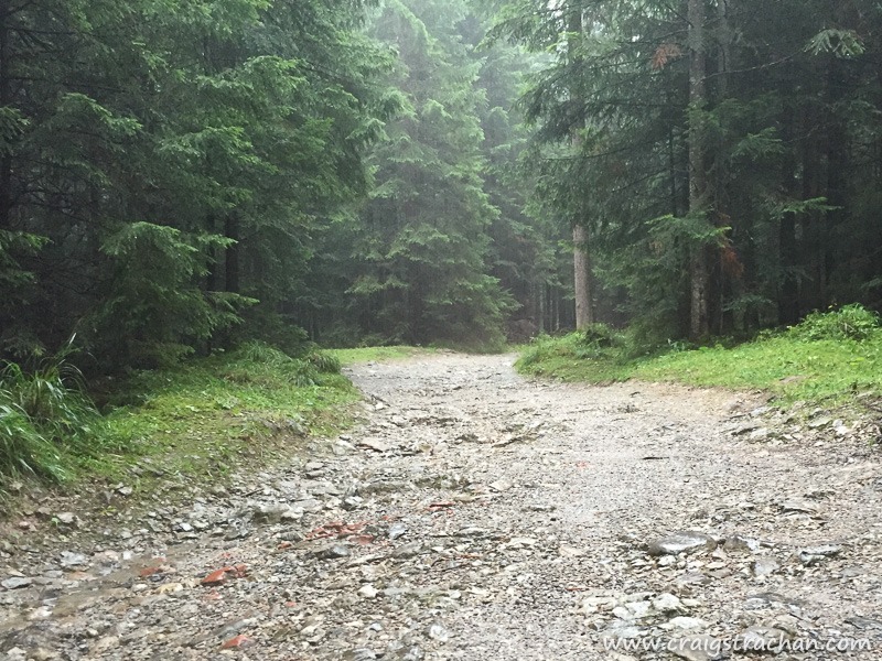
It started very civilized. The trails were wide, flat and well-maintained, and on the route I encountered groups of tourists & families going for morning walks. It reminded me of a very wet Newlands forest.

Cds 2016 09 06 11 09 24
The beginning of the trail. There are loads of trails on the Tatra mountains (you can even cross the border into Slovakia if you go all the way), so I just picked a random route up beforehand and started running. By the way the trail maps are excellent, so it was easy to figure out a rough route and avoid getting lost.

Cds 2016 09 06 11 14 59
Everybody was hiking in their winter clothes – jeans, thick jerseys and sturdy hiking boots. I was running in my usual running gear. A technical short and lycra shorts.

Cds 2016 09 06 11 15 54
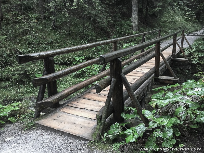
The rivers were flowing fast, and there were plenty of sturdy bridges crossing these small gorges

Cds 2016 09 06 11 17 23

To be continued…

Running Travel

This is what trail running is all about in Cape Town; this was shot on this afternoon’s run on the contour path just past Skeleton Gorge (Window Gorge?).

Cape Town Running

Somerset West

I have now completed three trail runs over the past month. The last one was the Helderberg Mountain Challenge yesterday. Trail running is far more crazy than road running. Sometimes you run on a gravel road, sometimes on a thin mountain path, and quite often you are climbing up a river bed, looking for the next contour.

A 10km run usually takes me just over an hour, but on this trail it took 1:40; it is a much more difficult route. You have to take all your own water with you, and on the longer runs you need to carry space blankets and first aid kits. In total we went up 600m, and of course down another 600m.

I didn’t take my camera with me, but I did have my trusty phone, this shot is a panorama shot of the Somerset West vineyards, heading towards the  Strand on the right.

Cape Town Running

Until I started trail running, I thought I was pretty fit (I can run a 21km half marathon without too much difficulty), but after going on two trail runs, I have realised that I am going to need a whole different level of fitness to keep this up.

The group that I have joined start running every Saturday morning around 7am. It means getting up really early on the weekends, but the views on the mountain make it so worth the early start.

On my weekend run, I even tried to fly, but alas did not manage to miss the ground, so a couple of bruised knees and sore left ankle later I completed the 15km route. Note that this was 15km up and down a mountain, not 15km on the level.

I took my happy snappy camera on the last run, so here is just a taste of the experience.
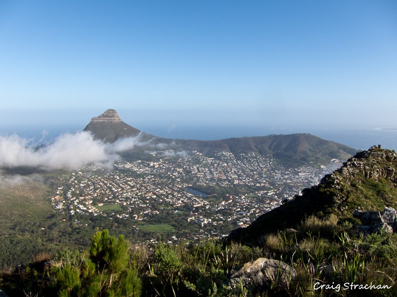
Lion’s Head (left) and Signal Hill (right). Notice how it looks like a lion lying on the ground, hence the name.
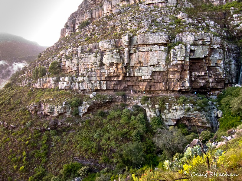
Running along Table Mountain, yes those little dots are us
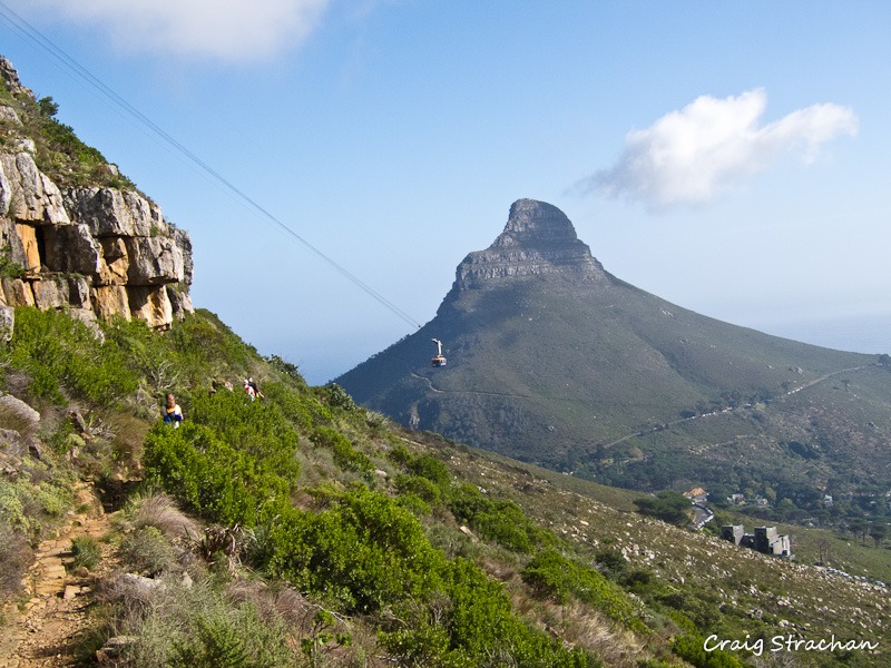
Running towards the Cable Car. The building on the bottom is the lower cable station, and you can see the cable car in the middle. Lion’s head is in the distance.
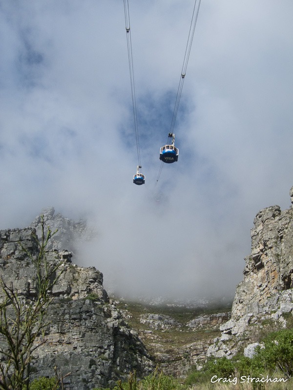
Cable Cars. Although it was a lovely day, it was still quite misty, here you can see the cables going up into the mist on the top of the mountain. If you come to Cape Town, you must take a trip to the top of the mountain, it is truly magnificent.

So am I hooked on Trail Running? Absolutely, see you on the mountain.


Cape Town Running Travel